LÍMITES HIPER-FRONTERIZOS
En el proyecto Límites hiper-fronterizos se parte del concepto de frontera (límite – territorio) para mostrar una nueva imagen del paisaje a través de los datos obtenidos de los Sistemas de Información Geográfica (SIG).
La idea de frontera guarda en su interior el concepto de límite. Este concepto posee un carácter imaginario que es usado en el proyecto para mostrar las divisiones que producimos en el territorio. El concepto hiper-fronterizo refiere, por su parte, a una noción paradigmática a la hora de entender el paisaje. Nos sitúa en una época postmoderna donde el acceso a la información es sumamente sencillo.
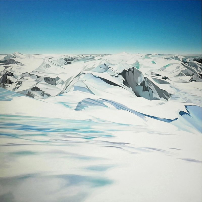
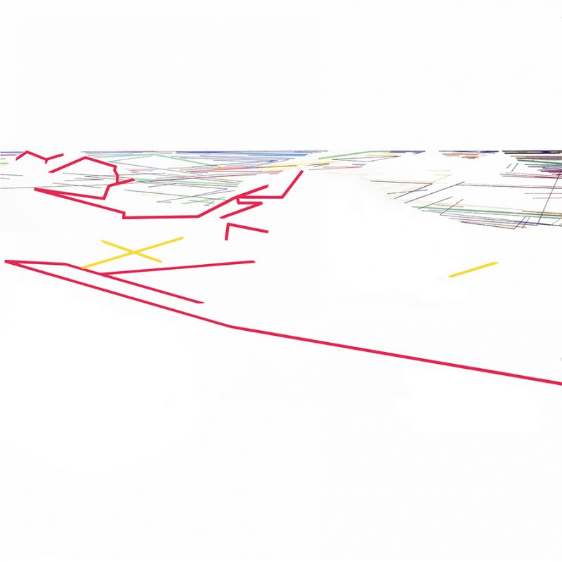
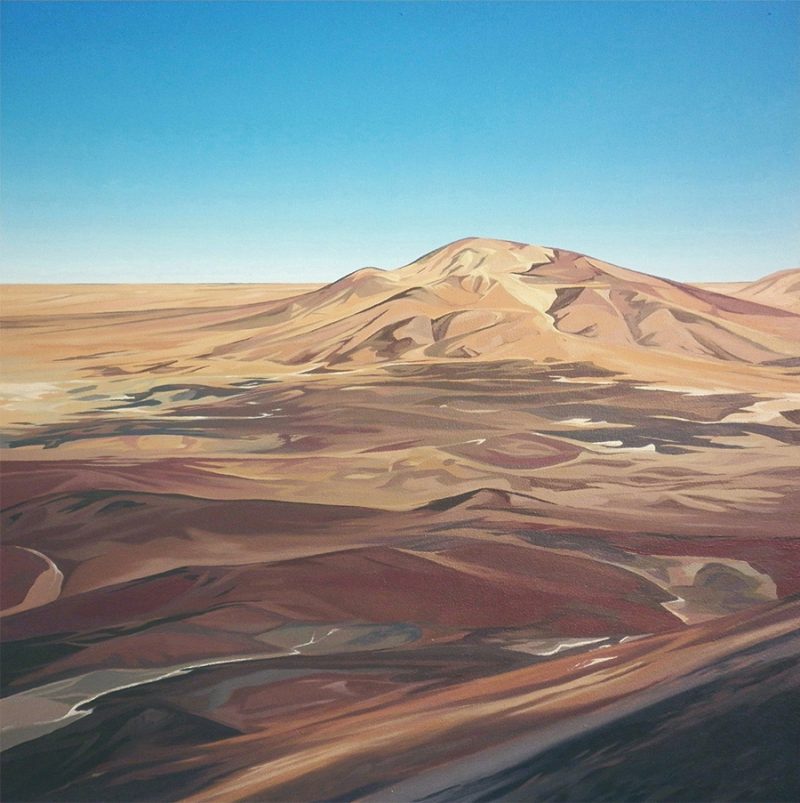
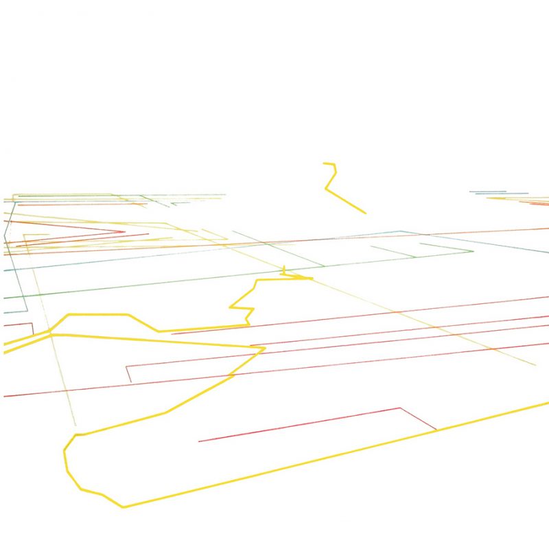
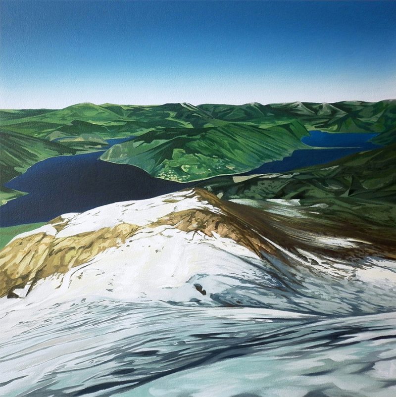
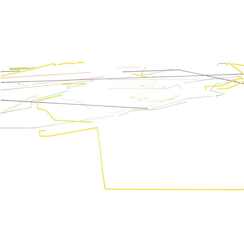
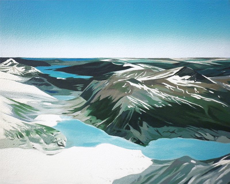
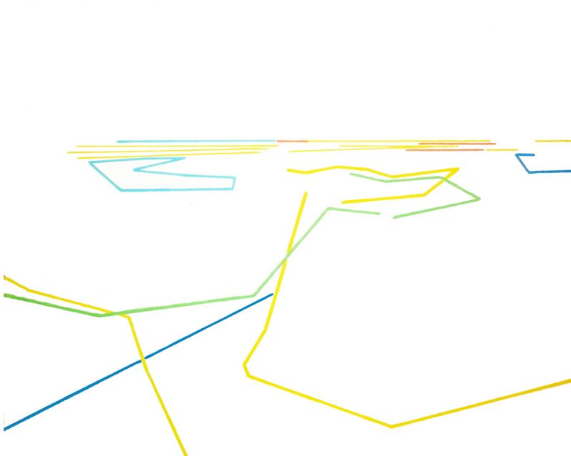
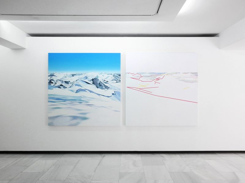
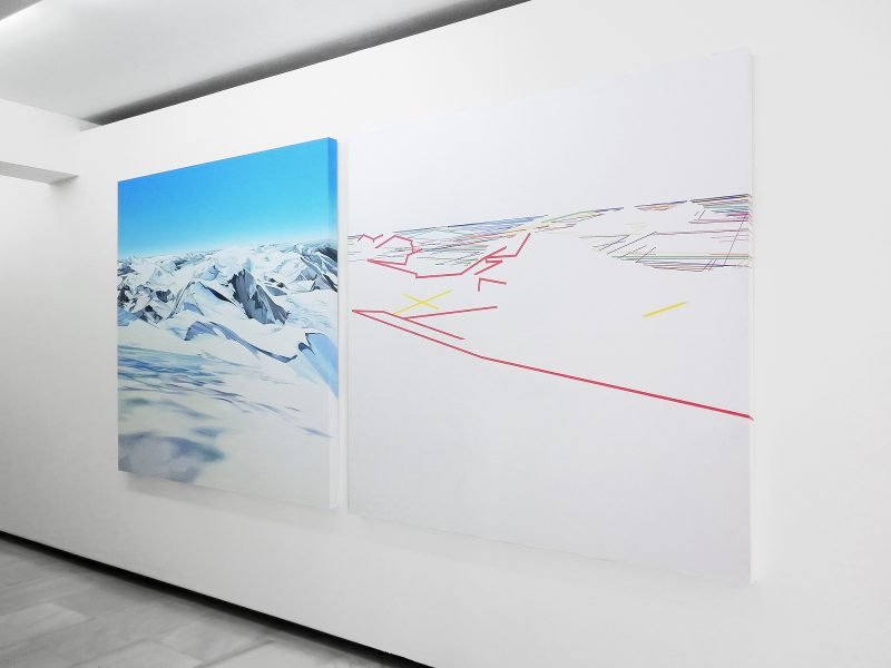
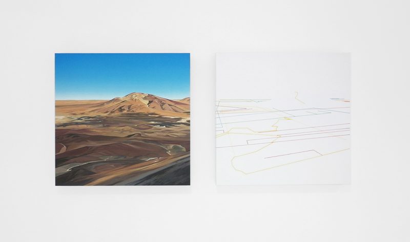
A través de las imágenes obtenidas de los Sistemas de Información Geográfica, se representarán pictóricamente dos formas de entender el paisaje. Por un lado, muestro imágenes de ciertas partes del planeta. Son imágenes, “paisajes”, obtenidos a partir de modelos 3D. Por el otro lado, represento los “datos” que refieren a esa parte concreta del territorio. El resultado es un una serie de líneas que delimitan el terreno, entre las que se encuentran: fronteras internacionales, líneas de costa, cuerpos de agua, fronteras de administración de primer nivel, regiones administrativas de segundo nivel, carreteras… formando, todos estos datos en su conjunto, un sistema de redes.
De este modo, el proyecto pictórico se desvela como una construcción del paisaje a partir de los datos, generando una doble lectura que se complementa.
----------------------------------------------------------------------------------------------------------
The Límites hiper-fronterizos project has as its initial core theme, the concept of frontier (territorial limits), showing an alternative vision of landscape, created from the data obtained from Geographic Information Systems (GIS).
Inherent to the notion of frontier is the concept of limitation. Its imaginary quality is exploited in this project to portray the divisions we create within territories. The hiper-fronterizo concept makes reference to a paradigmatic notion in the understanding of landscape. It situates us within the postmodern age, in which access to information is extremely easy.
Using images obtained from the Geographic Information Systems, two ways of understanding landscape are represented pictorially. On the one hand, I show images of certain areas of the planet. They are images, “landscapes”, obtained from 3D models. On the other hand, I represent “the data” that specifically refers to the territory concerned. The result is a series of lines that divide up the terrain, among which international frontiers, coast lines, waterways, first level administration borders, second level regional administration borders, roads are represented…… all such data forms a system of networks.
In this way the pictorial project unfolds as a construction of landscape from data, which generates a complimentary dual interpretation.
----------------------------------------------------------------------------------------------------------
----------------------------------------------------------------------------------------------------------

